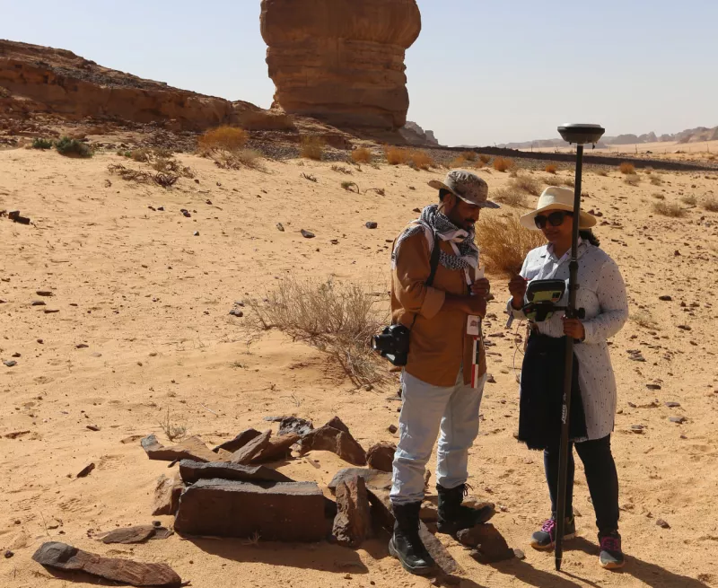
Starting in Spring 2018, the survey utilised high-resolution aerial photography to identify possible archaeological sites, each of which was visited on the ground by archaeological teams to confirm it was pre-modern and to map, describe and photograph it. In addition, specialist survey teams searched for, and recorded, rock art and inscriptions, which are not detected by remote sensing, and that provide a remarkable record of past cultures in the region.
More detailed recording was undertaken of selected sites by photogrammetry using a drone, to provide accurate and detailed 3D models of the archaeological monuments and landscapes. This was followed by a programme of targeted excavation of key monument types, intended to establish their dates and functions. These include:
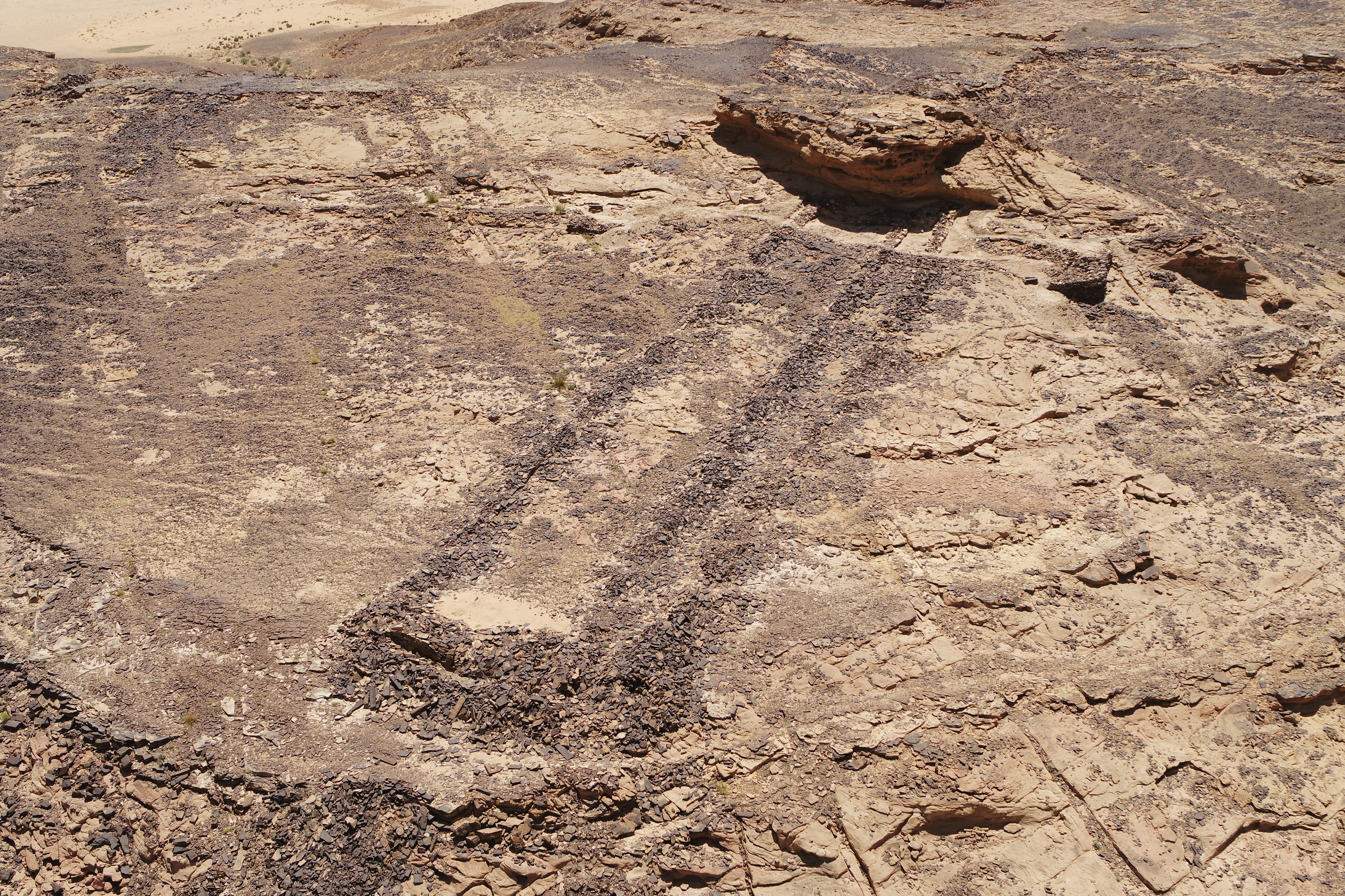
- extraordinary mustatils (Arabic for rectangle) which were discovered to probably be ritual monuments and dating back more than 7000 years, to the Neolithic period.
- substantial burial monuments from the Bronze Age (approximately 5000 years ago).
The survey also documented settlements, temples and burials that relate to the incense trade from the Iron Age and Nabataean periods (about 3000-2000 years ago); and towns, forts, farming lands and irrigation systems of the more recent Islamic period.