At OA we have had a dedicated Geomatics department since 2001 and have always shown an interest in innovation in applying geomatics to archaeology and using it to enhance what we do. Geomatics permeates pretty much every stage of an archaeological project, from initial desk-based assessments of what archaeology may be found on a particular site, non-intrusive techniques of survey, such as geophysics and aerial photography, initial evaluation and full-scale excavation, analysis of the results and publication, disseminating findings and showcasing results through public outreach and engagement, and finally archiving the spatial data for future generations. Accurate plans with good quality data have always been essential and as such our geomatics team are often first on a site and last off it. We also frequently provide technical knowledge and support to enable others in the organisation to help them view, interrogate, and present archaeological data.
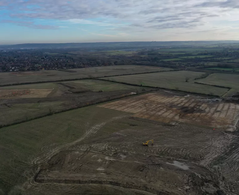
A good example of our role across the life cycle of a project is our work on the Lower Thames Crossing (LTC) scheme. Geomatics were involved right at the start, helping the client and appointed contractors to build their GIS resources for the scheme, alongside providing visualisations and analytical plans for their planning documents and applications. When fieldwork commenced, we undertook the spatial recording of the numerous different evaluation areas across the scheme, utilising our webmap workflow to visualise and provide access to the data as it was captured. Our work then continued into the post-excavation assessment stage, further envisaging the data by producing maps for reports and publications, 3D models for public outreach, alongside producing digital deliverables and archiving of data to help inform the next stages of the scheme.