This is the last but one day of the excavation project, but before we embark on the results of todays work, I would like to impart the results of yesterdays drone survey. This was undertaken to look at Site 4a, which is a small plot / enclosure associated with a round house.
The earlier survey shows a rectangular enclosure, previously considered to be a stock enclosure, with a small round house located at its south-east corner, with some associated field banks. The new drone survey provides the opportunity to revisit the site and the earlier survey.

This site is particularly difficult to spot from the ground, and hence there is a lot to be gained from revisiting with the drone survey. What clearly shows is that the main track extends right over it, which is not doing it any good. The main features are visible on the hillshade (albeit not obvious), and interestingly the northern (lower) bank of the 'enclosure' was not obvious from the hillshade and when we reexamined yesterday we could not see it clearly on the ground either. We also observed, that the upper (southern) bank had a lynchet profile. So given that this does not fully enclose and it incorporates a lynchet then we can tentatively conclude that it was primarily an arable plot rather than an enclosure.
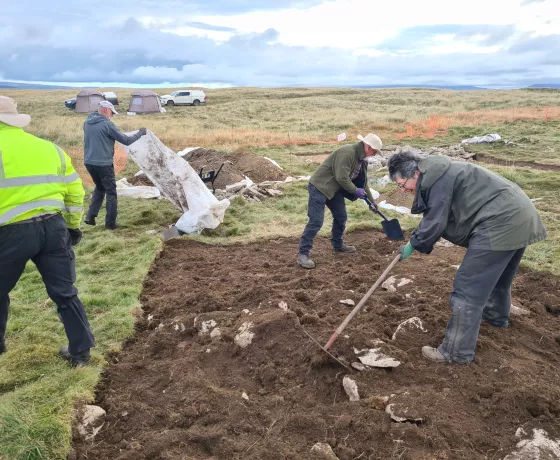
First thing this morning Katie took, Andrew and Sylvia over to Area 4a to continue work on our latest trench investigating our second round house of the season. Following de-turfing the trench has proved tough to clean-up with much rooting but by the afternoon it was ready for its pre-excavation plan and with time now against us this was swiftly followed by the commencement of its excavation. We should know more tomorrow but tentative indications suggest deposits may have been preserved beneath the collapsed wall on the interior of the building.

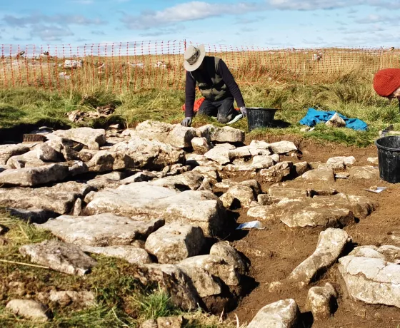
In trench 16 Brian and Astrid finished the last of the clean-up work before completing the pre-excavation photogrammetry and pushing ahead with the excavation of the possible cairn within the coaxial bank. A longitudinal section along the bank should hopefully identify any relationship between the cairn and bank and provide us with a sequence of development.
In trench 14 the excavation of the clearance cairn was completed before tea break and the trench photography undertaken. In the afternoon the section drawings were begun and although careful inspection may yet reveal more details it appears that the cairn was placed upon an area of raised ground, perhaps coinciding with an outcrop of limestone pavement. As such the early farmers were choosing an area of unproductive land upon which to place their cairn.
The highlight of the day however was reserved for trench 15, where Carol and Cecilia continued to excavate through a section of coaxial bank in the hope of finding some dating material. Just before lunch Carol, on her last day with us, unearthed arguably our best find of the season when she retrieved a barbed and tanged arrowhead made of chert from the deposit immediately beneath the bank. The arrowhead will be looked at in greater detail by one of OA’s specialists in the coming days, but early indications suggest it probably dates to the early Bronze Age, say around 2300 BC.


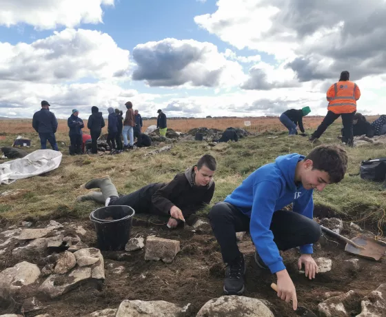
With four trenches open and our last day tomorrow there is still plenty of work to do before we can backfill. The weather looks ominous for the morning but perhaps luck will be with us one last time.
Finally today, thanks to Carol for her kind gift of handmade bookmarks which she presented to Andy and Katie at the end of the day, each with a beautiful landscape scene painted onto silk chiffon. A lovely gift.

Other posts in this collection
Read our latest posts about the Little Asby community excavation.